History_of_the_American_West http://en.wikipedia.org/wiki... ] 489 - How the West Wasn't Won: Powell's Water-based States http://bigthink.com/strange... Strange Maps | Big Think - http://bigthink.com/blogs...
Nov 19, 2010
from
Andrew C (✔),
Big Joe Silenced,
RAPatton,
Eivind,
JB,
etesien,
Eric Logan,
Jennifer Dittrich,
Joe,
Zu from AOD,
Spidra Webster,
Iván Abrego,
bob,
Halil,
Steve C, Team Marina,
and
Nispell
liked this
pstp h2o geo ag Powell http://en.wikipedia.org/wiki... was convinced that only a small fraction of the American West was suitable for agriculture (3). His Report proposed irrigation systems fed by a multitude of small dams (instead of the few huge ones in operation today) and state borders based on watershed areas. The bulk of the arid regions should be reserved for conservation and low-intensity grazing.
But other interests were at work; the railway companies lobbied for large-scale settlement and agricultural development. Counter-expertise for Powell's point of view was provided by professor Cyrus Thomas http://en.wikipedia.org/wiki... , who claimed that 'rain follows the plough'. That theory was thoroughly disproved by the Dust Bowl of the 1920s and 1930s, which caused tremendous hardship among the pioneers attracted to farm the arid regions, and led many of them to migrate even further West. , 7-4 The only year with more all-time heat records than 2012 is 1936, when 61 cities of the 298 locations (20%) set all-time heat records. The summer of 1936 was the hottest summer in U.S. history, and July 1936 was the hottest month in U.S. history. http://www.wunderground.com/blog... , Dust Bowl http://en.wikipedia.org/wiki... , sort http://www.wunderground.com/history... , National Irrigation Congress http://en.wikipedia.org/wiki... http://en.wikipedia.org/wiki... , 10 -28 Wallace_Stegner http://en.wikipedia.org/wiki... Ivan_Doig http://en.wikipedia.org/wiki... http://en.wikipedia.org/wiki... Ian_Frazier http://en.wikipedia.org/wiki... [[[[ 12 -24 http://www.cracked.com/article... [[ 2 -22 sort http://en.wikipedia.org/wiki... http://en.wikipedia.org/wiki... http://en.wikipedia.org/wiki... http://en.wikipedia.org/wiki... Deep_map http://en.wikipedia.org/wiki... http://en.wikipedia.org/wiki... 12 -2 https://friendfeed.com/citizen...
- Thomas Page
Cascadia (independence movement) http://en.wikipedia.org/wiki... , http://cascadia-institute.org/ search cascadia david mccloskey http://cascadianow.org/about-c... 11 -13 http://en.wikipedia.org/wiki... http://www.urbandictionary.com/define... ??? PNW 12 -1 dialects http://aschmann.net/AmEng...
- Thomas Page
interesting.
- JB
:) 557 - The First Satellite Map of California (1851) http://bigthink.com/strange... , Aguanomics
the political-economy of water (and other diversions) King of California -- The Review http://www.aguanomics.com/2011... , 10 -13 Land of a BillionVegetables http://www.nytimes.com/2012... 6 -14 http://www.vox.com/a...
- Thomas Page
The Invisible Borders That Define American Culture http://www.theatlanticcities.com/arts-an... , 10 -17 sort http://www.slate.com/blogs... , 1 -21 -13 http://bmander.com/dotmap... 7 -10 How to Redraw the World Map http://www.nytimes.com/roomfor...
- Thomas Page
How 'Geography' Informs The Fate Of The World http://www.npr.org/2012... , 10 -18 sort http://en.wikipedia.org/wiki... http://historywired.si.edu/object...
- Thomas Page
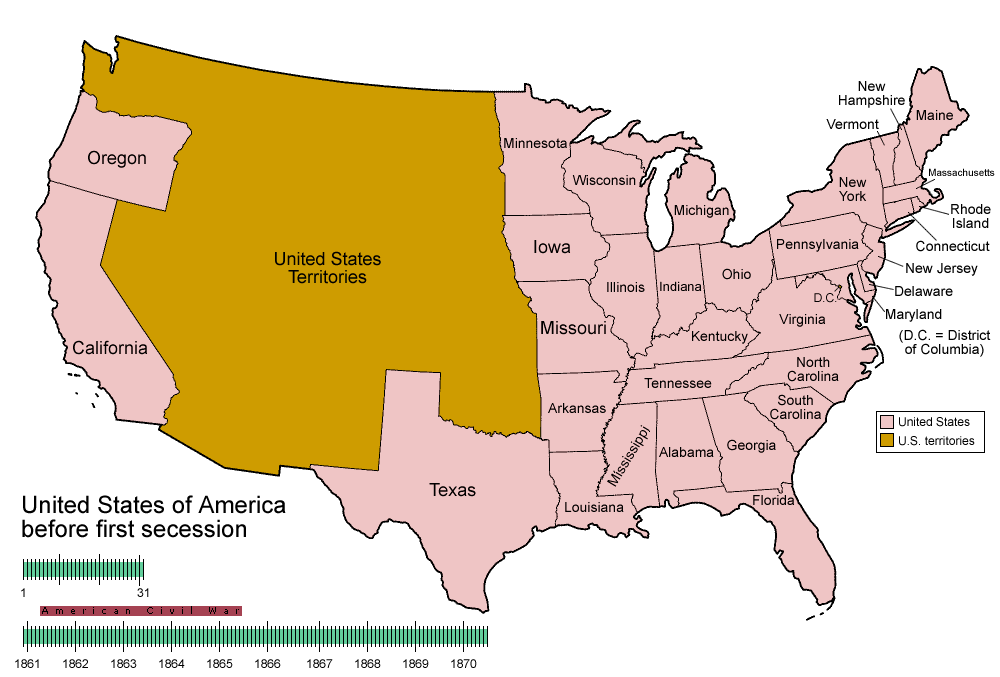
Territorial evolution of the United States http://en.wikipedia.org/wiki... , United States territorial acquisitions http://en.wikipedia.org/wiki... , http://upload.wikimedia.org/wikiped... , 11 -22 sort http://www.nytimes.com/2012... , 2 -7 http://www.buzzfeed.com/hnigatu... 11 -25 http://en.wikipedia.org/wiki... 11 -29 http://fakeisthenewreal.org/reform... 6 -13 http://invasionofamerica.ehistory.org/
- Thomas Page
.
- Thomas Page
Louisiana_Purchase http://en.wikipedia.org/wiki... [ 3 -30 sort https://friendfeed.com/history...
- Thomas Page
.
- Thomas Page
.
- Thomas Page
.
- Thomas Page
12 -23 Irrigation in the Walla Walla River Valley http://www.historylink.org/index... https://books.google.com/books... https://books.google.com/books...
- Thomas Page
.
- Thomas Page
2 -22 sort http://en.wikipedia.org/wiki... http://en.wikipedia.org/wiki... http://en.wikipedia.org/wiki... http://en.wikipedia.org/wiki... http://en.wikipedia.org/wiki... http://en.wikipedia.org/wiki... [[[[ http://friendfeed.com/history...
- Thomas Page
11 -30 cultural-geography http://friendfeed.com/citizen... ... ... [ 12 -15 America's Wealth Is Staggeringly Concentrated in the Northeast Corridor [MAPS] http://www.businessinsider.com/america... 1 -15 http://www.washingtonpost.com/blogs...
- Thomas Page
3 -5 sort Delaware Longknife Corporate Folkways ? {{{ from the many to the few [ http://friendfeed.com/citizen... [[ 12 -1 dialects http://aschmann.net/AmEng... [[[ 12 -11 Novus ordo seclorum "New order of the ages" http://en.wikipedia.org/wiki... [ E pluribus unum http://en.wikipedia.org/wiki... (Latin for "Out of many, one" (alternatively translated as "One out of many" or "One from many") Never codified by law, E Pluribus Unum was considered a de facto motto of the United States until 1956 when the United States Congress passed an act (H. J. Resolution 396), adopting "In God We Trust" http://en.wikipedia.org/wiki... as the official motto. One Nation Under God
- Thomas Page
11 -13 Agribusiness
- Thomas Page
.
- Thomas Page
.
- Thomas Page
Geography of Wealth 3 -4 http://en.wikipedia.org/wiki... http://en.wikipedia.org/wiki... http://en.wikipedia.org/wiki... 11 -30 Where Are the Hardest Places to Live in the U.S.? http://www.nytimes.com/2014...
- Thomas Page
.
- Thomas Page
.
- Thomas Page
Range wars http://en.wikipedia.org/wiki...
- Thomas Page
Kansas Nebraska 11 -29 sort http://friendfeed.com/citizen... 1 -15 http://theweek.com/capture...
- Thomas Page
9 -6 Treasure_Valley http://en.wikipedia.org/wiki... 11 -29 sort http://friendfeed.com/citizen...
- Thomas Page
http://www.newrepublic.com/article... By Susan Schulten Photo: Courtesy of University of Denver Penrose Library
In the decades after the Civil War, Americans rushed headlong into the west. By 1890 Kansas and Nebraska had over a million inhabitants, and over six million lived in the seventeen states and territories that made up the region. It was a moment of palpable excitement about the region’s promise.
In that moment of supreme confidence, however, one voice reminded Americans that these outsized expectations could never be realized given that west of the 100th meridian—from the Dakotas down through east Texas—there was insufficient rainfall to sustain agriculture. That voice was John Wesley Powell, a hero of the Civil War who lost an arm fighting the rebels at Shiloh before leading equally heroic expeditions in the remotest areas of the west, most notably down the Colorado River. These expeditions convinced him that the scarcity of water would become the single most important influence in western development. Outside the Pacific Northwest, the arid lands of the west could not be farmed without irrigation.
In the 1880s, Powell spent much of his energy trying to convince Congress that this situation demanded the end of the widespread, freewheeling distribution of land that had led to speculation on the one hand and brutal failure for small homesteaders on the other. His most innovative weapon in this battle was a map that proposed an alternative, even shocking, vision for the west. Had his advice been heeded, the west would look very different indeed.
The map is so beautifully and colorfully executed that its message could easily be lost, but Powell was deadly serious about his proposal. The arid west, he insisted, ought to be organized not by the logic of the grid or existing state boundaries, but by the far more important and influential fact of watersheds. All decisions about settlement and politics must flow from these units; everything else was secondary. Within these water districts, Powell even speculated that the people themselves must be given cooperative control of the resources. Overly idealistic perhaps, but entirely understandable in an era where rampant speculation meant that railroad and other corporations were increasingly in control of the best and most arable tracts of land.
In a way, there was nothing new or surprising about Powell’s characterization of the west as a permanently arid region. In the 1820s—well before the region was even part of the United States—explorer Stephen Long made his way up the Missouri and Platte Rivers across arid, treeless plains. By the end of the journey he had concluded the region was best left as permanent Indian Territory, and dubbed it “the Great American Desert.”
Long’s characterization was confirmed a few decades later, when the first maps of climate and rainfall showed Americans a nation that was essentially divided by the Mississippi River: well watered to the east and increasingly arid to the west. One of these maps circulated widely in the 1870s, using shades of blue to designate the severe absence of rain in the western interior.
This map of rainfall demonstrated to Major Powell that the rush to settle the plains and beyond was a disaster in the making. It was this stark visual evidence that inspired him to use maps to propose an alternative path for western development. Congress was intrigued, and briefly renewed his funding for research toward a comprehensive plan of irrigation. But Powell’s vision, however compellingly presented and argued, was simply too far removed from contemporary interests and assumptions about growth. It didn’t help matters that he was stubborn, and exuded the passion of an evangelist that rubbed many Senators the wrong way. Soon after his testimony, the Senate shut down Powell’s irrigation survey.
By the 1890s Powell’s ideas made him a household name among in California, though the irrigation enthusiasts had stripped away the cautious tone and replaced it with boundless enthusiasm for the future of agriculture. In the twentieth century, California’s vineyards and citrus groves became the envy of the world. At this moment, the entire state is in severe drought that extends across much of the southwest to Oklahoma, now in its driest year on record since the Dust Bowl in 1936. We might consider how different the west might look now had Powell’s ideas gained just a bit more traction over a century ago.
- Thomas Page
Missouri_River http://en.wikipedia.org/wiki... [ Oh_Shenandoah-Lyrics http://en.wikipedia.org/wiki... [[ Great Falls, MT, Bismarck, ND, Pierre, SD, Sioux City, IA, Omaha, NE, Kansas City, KS, Kansas City, MO, St. Louis, MO [[[ http://en.wikipedia.org/wiki... [[[[ Mullan Road http://en.wikipedia.org/wiki... http://friendfeed.com/citizen...
- Thomas Page
Detroit, Green Bay, St. Louis, Cape Girardeau, Mobile, Biloxi, Baton Rouge and New Orleans 12 -2 Steamboats
- Thomas Page
St. Louis ... [ Timeline_of_St._Louis http://en.wikipedia.org/wiki... [[ http://en.wikipedia.org/wiki... The St. Louis Diocese was elevated to an Archdiocese on July 20, 1847, by Pope Pius IX.
Because of its strong Catholic identity and having been the mother diocese of many dioceses in the midwest, the archdiocese was often referred to as "the Rome of the west". It is dedicated to Saint Louis IX and has as its copatrons Saints Vincent de Paul http://en.wikipedia.org/wiki... and Rose Philippine Duchesne. http://en.wikipedia.org/wiki... St Rose http://en.wikipedia.org/wiki... St Joe http://en.wikipedia.org/wiki... http://en.wikipedia.org/wiki... http://en.wikipedia.org/wiki... http://en.wikipedia.org/wiki...
- Thomas Page